

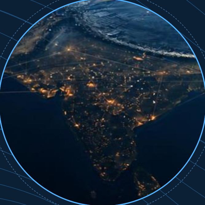
Geospatial intelligence for a resilient future.
Satellite, airborne and ground intelligence for governments and industry. Since 2000, SpaGeo has taken projects from satellite data to AI-driven decisions in 10+ countries.
From sensor to decision
Five disciplines under one roof, so one team carries a project from the first satellite scene to the decision it supports.
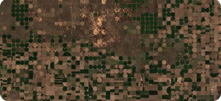
Satellite remote sensing
Optical, SAR/InSAR and hyperspectral fusion; AI land-use, change and crop mapping.
Airborne LiDAR & UAV
50+ pts/m² point clouds, 2–5 cm orthophotos, mobile mapping and bathymetry.
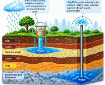
Hydrogeology & water
Aquifer mapping, managed recharge (MAR/ASR), MODFLOW and flood forecasting.
GIS platforms & digital twins
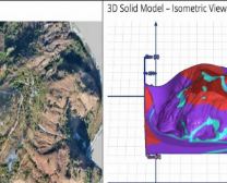
Web-GIS dashboards, 3D city twins and offline field apps for departments.
GeoAI
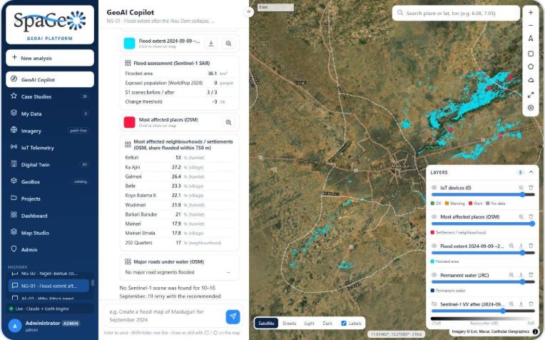
Plain-language geospatial analysis on Earth Engine, and AI groundwater modelling inside QGIS.
Capture. Understand. Ask. Observe.
Geospatial Technologies
Satellite, airborne LiDAR, drone and ground survey, turned into accurate GIS.
Explore →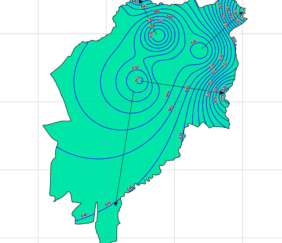
GeoIntelligence
Hydrogeology, modelling, early warning and digital twins that explain what the data means.
Explore →GeoAI
Ask a question, get a map. Analytics on Sentinel, Landsat and commercial imagery, live today.
Explore →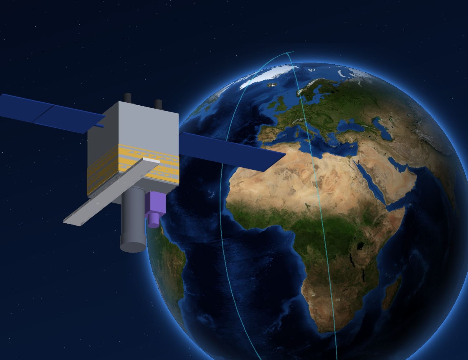
OrbitIndia
Smart satellites: optical, SAR and hyperspectral on one platform, with GeoAI on board.
Explore →Where we work
Nine sectors, one method: measure precisely, model honestly, and hand over systems people keep using.
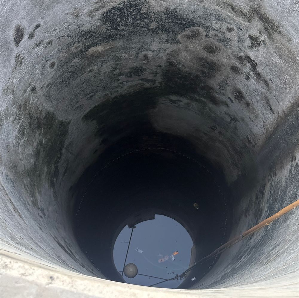
Urban Aquifer Management
AMRUT 2.0 aquifer maps for 12 Gujarat cities and shallow-aquifer DPRs for 11 more, from Gangtok to Ranchi.
Featured: GUDM AMRUT 2.0, 12 Gujarat cities · NIUA SAM 2.0, 11 cities
Explore Urban Aquifer ManagementDisaster response in hours, not days
After the Alau Dam collapse, radar mapped 36.1 km² of newly flooded land in Maiduguri through cloud, and ranked the most affected settlements, from one prompt on the SpaGeo GeoAI platform.
Proven on the ground
Select a location to see the project. Every pin is a delivered or ongoing SpaGeo assignment.

Urban aquifer mapping, 12 Gujarat cities
1:10,000 mapping, 30+ layers, DRASTIC vulnerability and 3D aquifer models for Rajkot, Surat, Bhuj and nine more cities.
| Client | Gujarat Urban Development Mission |
|---|---|
| Scale / value | ₹3.0 Cr |
| Status | Ongoing |
View from the sky, impact on the ground
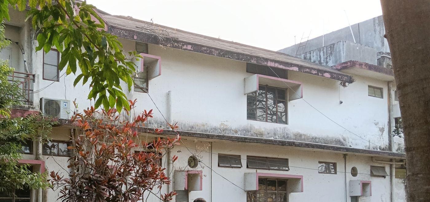
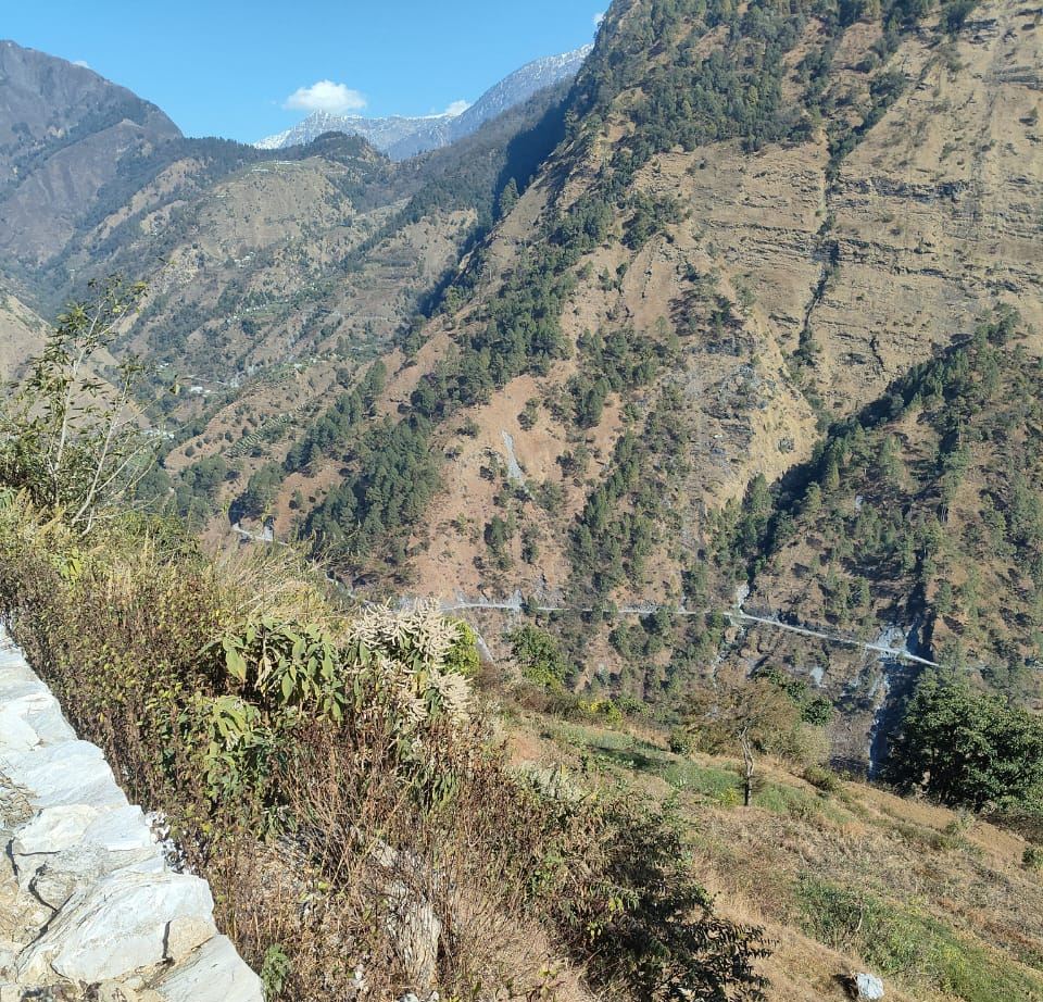
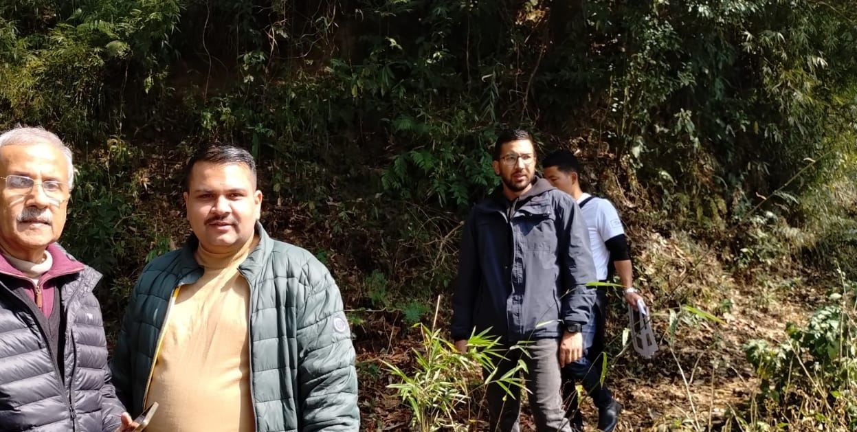
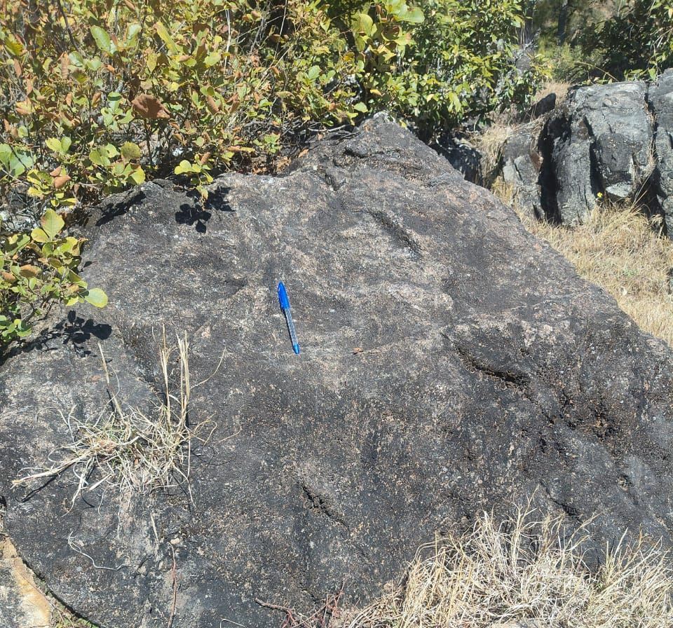
Our teams walk every site they map, from Himalayan slopes to city wards.
Built in-house
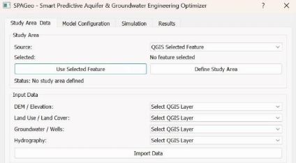
SpaGeo Copilot for QGIS
AI groundwater modelling inside QGIS: build and run aquifer models in plain language.

Xonni AeroPro, Shield & LiDAR
Indigenous survey UAVs, anti-drone systems and LiDAR scanners from Xonni Systems.
Ministries, missions, ports and governments
Partners: VertiGIS · IIT Roorkee · Dornier Consulting · ACES Doha · ETAFAT · BSTARCOM
News, launches and field notes

Meet SpaGeo at the India Pavilion, ASEICC 2026, Abuja
We unveil OrbitIndia smart satellites and show GeoAI live at ASEICC 2026 in Abuja, Nigeria, 24–27 November.
Read →
Disaster response in hours: mapping the Maiduguri floods with GeoAI
After the Alau Dam collapse, radar mapped 36.1 km² of newly flooded land through cloud and ranked the most affected settlements from one prompt.
Read →
OrbitIndia: one satellite, three ways of seeing
Optical, X-band SAR and hyperspectral on one ~200–250 kg platform, with GeoAI processing in orbit.
Read →Let's build the future together
Affordable, robust geospatial intelligence for every decision-maker. Tell us about your project and the right team will reply within one working day.
info@spageo.co.in · India Pavilion, ASEICC 2026, Abuja, Nigeria · 24–27 November 2026
4 open roles and internships
GIS, hydrogeology, remote sensing and software.
See careers →