

Sectors we serve
The same method in every sector: measure precisely, model honestly, and hand over systems people keep using.
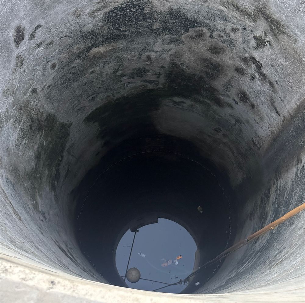
Urban Aquifer Management
AMRUT 2.0 aquifer maps for 12 Gujarat cities and shallow-aquifer DPRs for 11 more, from Gangtok to Ranchi.
Explore →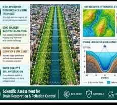
River Rejuvenation
Drain and river corridors surveyed by drone and echo sounder, with sludge volumes and restoration plans.
Explore →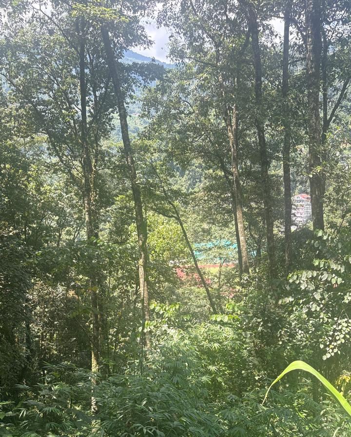
Nature-based Solutions (CAMUS-SBT)
Springsheds, wetlands and catchments restored with geospatial evidence and monitored from space.
Explore →
Telecom Inventory & Networks
Fibre and tower inventory, FTTx planning and network operations GIS with VertiGIS ConnectMaster.
Explore →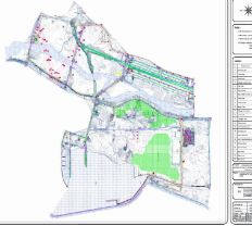
Electric & Water Utilities
Utility asset mapping, CAD-to-GIS migration and network digital twins for power and water boards.
Explore →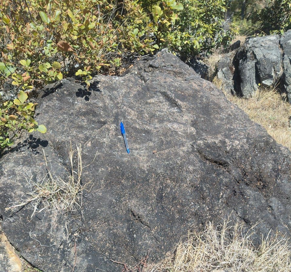
Mining, Geology & Mine Planning
Geological mapping, drone DSMs and slope-stability studies for mines in Uttarakhand.
Explore →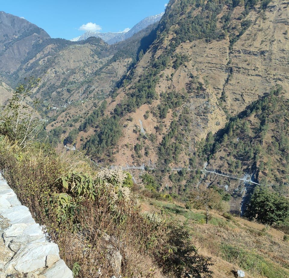
Slopes, Landslides & Geohazards
Hill-slope stability, InSAR ground movement and early warning for Himalayan roads and towns.
Explore →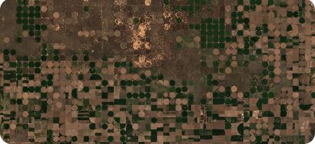
Agriculture, Forests & Carbon
Crop maps, crop-insurance analytics, agri-drones and carbon MRV across 3 lakh hectares.
Explore →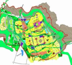
Smart Cities & Land Records
City master plans, property-tax GIS and land management systems from Pilkhuwa to Kabul.
Explore →