

Mining, Geology & Mine Planning
Geological mapping, drone DSMs and slope-stability studies for mines in Uttarakhand.
The challenge
Why it matters
Water inflow and slope stability decide the pace and safety of every mine bench.
How SpaGeo does it
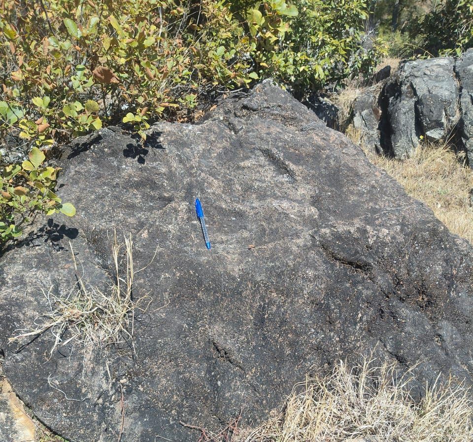
- Geological mapping (Bageshwar)
- Drone orthophotos and DSMs
- Slope-stability analysis
- Mine hydrogeology and dewatering
Start a conversation
Planning work in mining, geology & mine planning?
Share a few details and the sector lead will reply within one working day.
Related sectors
Urban Aquifer Management
AMRUT 2.0 aquifer maps for 12 Gujarat cities and shallow-aquifer DPRs for 11 more, from Gangtok to Ranchi.
River Rejuvenation
Drain and river corridors surveyed by drone and echo sounder, with sludge volumes and restoration plans.
Nature-based Solutions (CAMUS-SBT)
Springsheds, wetlands and catchments restored with geospatial evidence and monitored from space.