

Urban Aquifer Management
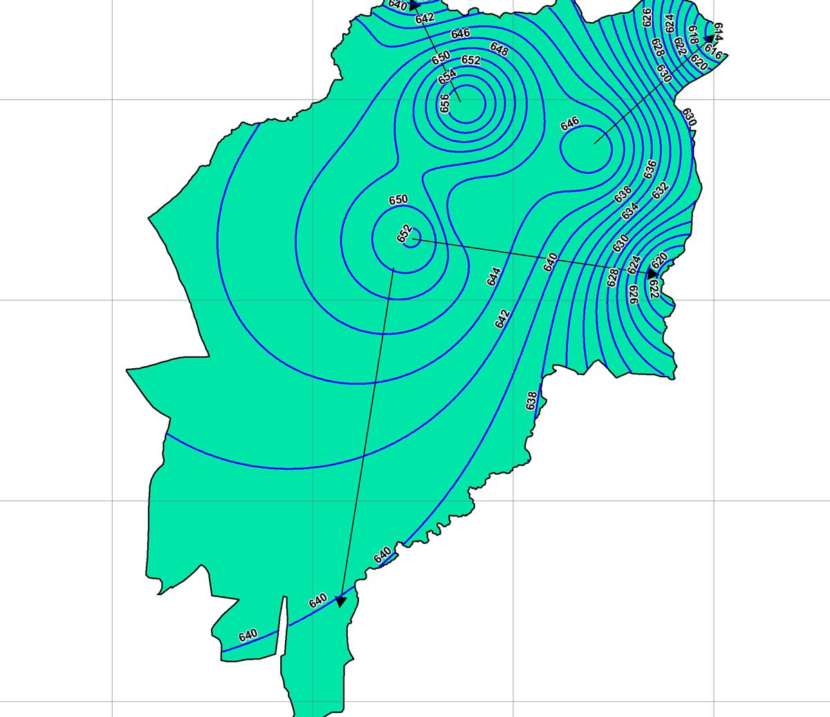
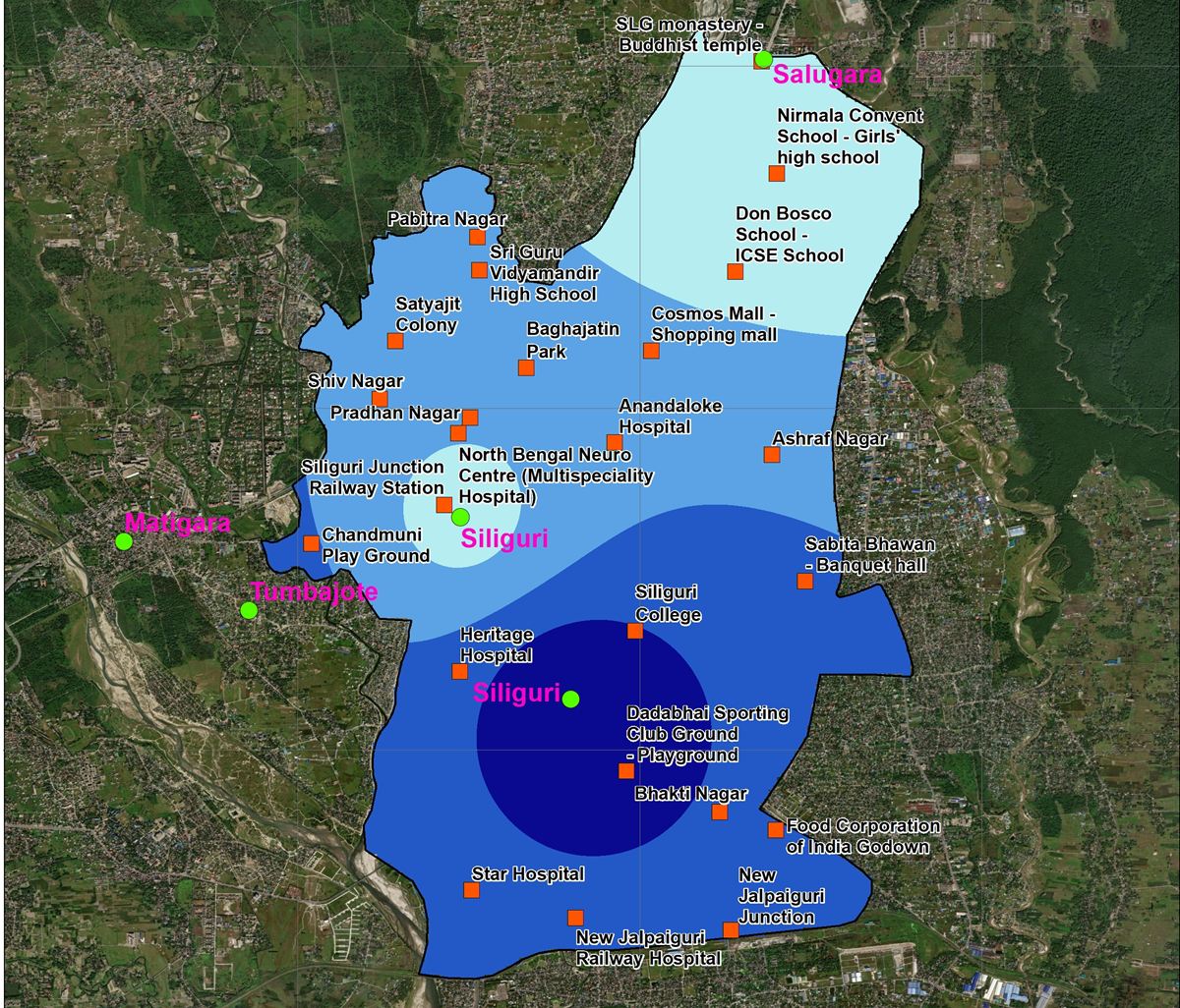
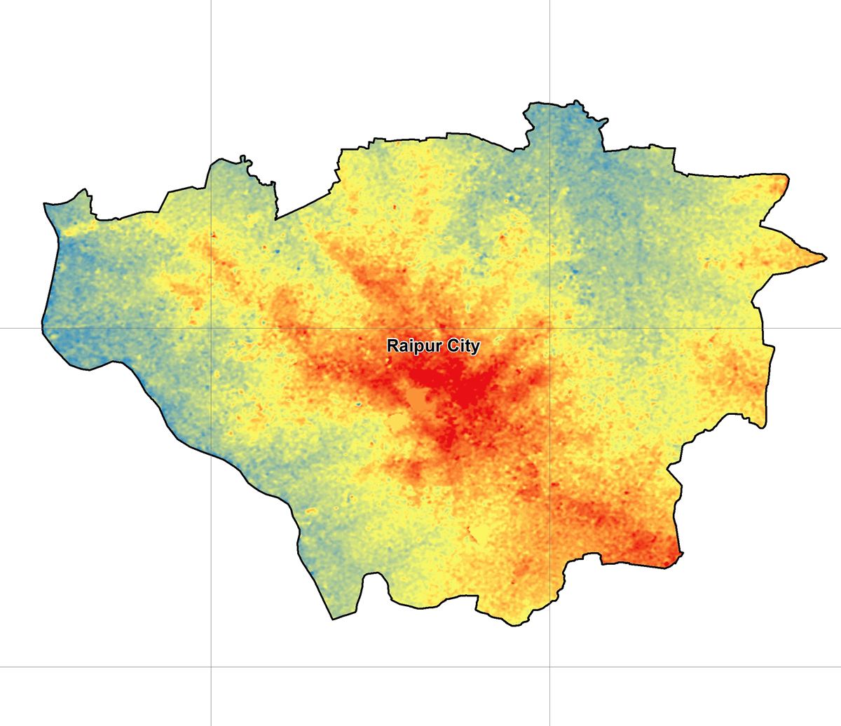
AMRUT 2.0 aquifer maps for 12 Gujarat cities and shallow-aquifer DPRs for 11 more, from Gangtok to Ranchi.
The challenge
Why it matters
Indian cities draw much of their water from aquifers mapped only at district scale, too coarse for a ward-level recharge plan.
How SpaGeo does it
- 1:10,000 mapping with 30+ thematic layers
- DRASTIC vulnerability and 3D aquifer models
- Recharge zones, structure designs and BOQs
- Water-level recorders and ULB capacity building
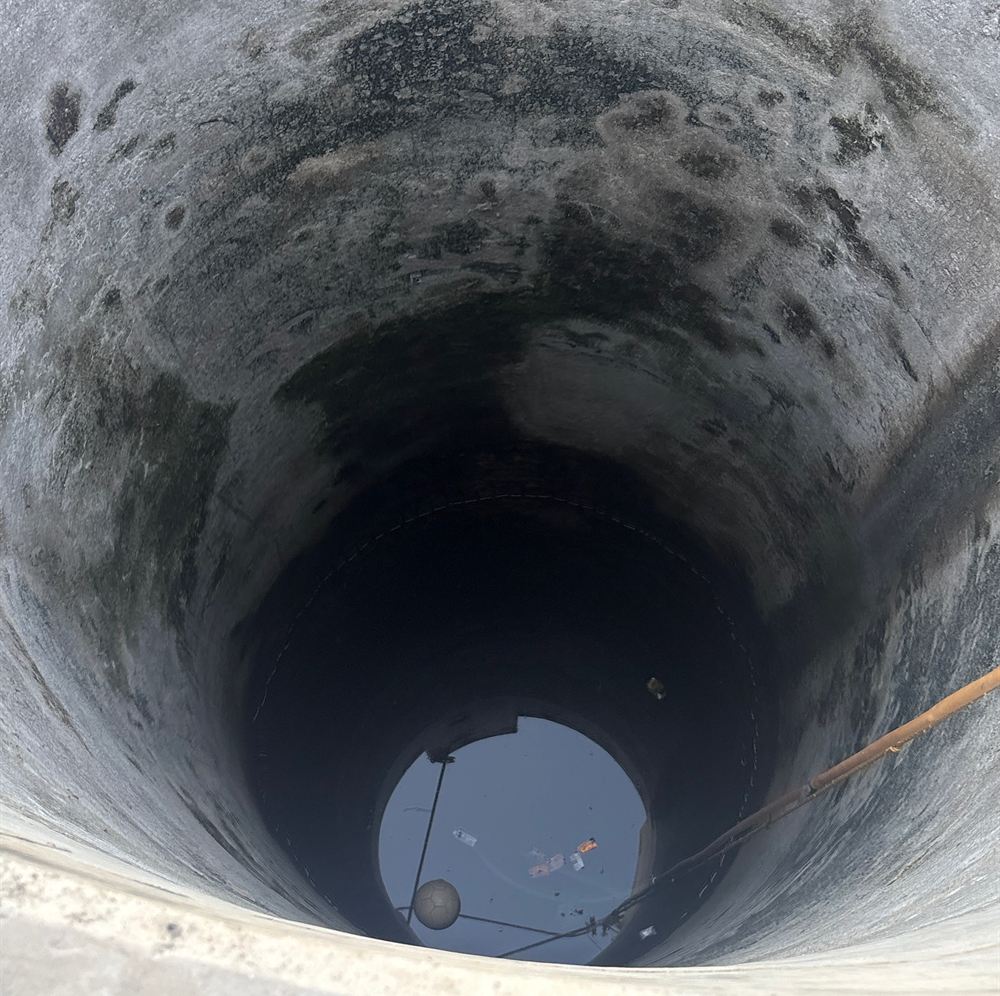
From our project files
Start a conversation
Planning work in urban aquifer management?
Share a few details and the sector lead will reply within one working day.
Related sectors
River Rejuvenation
Drain and river corridors surveyed by drone and echo sounder, with sludge volumes and restoration plans.
Nature-based Solutions (CAMUS-SBT)
Springsheds, wetlands and catchments restored with geospatial evidence and monitored from space.
Telecom Inventory & Networks
Fibre and tower inventory, FTTx planning and network operations GIS with VertiGIS ConnectMaster.