

A geospatial powerhouse since 2000
SPA Geo Technologies Pvt. Ltd. is an ISO-certified geospatial engineering, remote sensing and AI/ML analytics company in Delhi-NCR. We take projects from satellite data to AI-driven decisions.
Satellite, airborne and ground intelligence
Our wholly-owned subsidiary Xonni Systems builds UAVs, airborne LiDAR and anti-drone systems in India. Our mission: affordable, robust geospatial intelligence for every decision-maker.
Global footprint: India (HQ) · Qatar · UAE · Saudi Arabia · Yemen · Afghanistan · Botswana · Zambia · Nigeria · Morocco
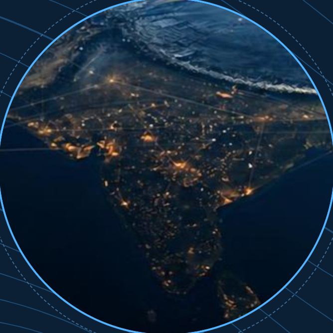
Twenty-five years of mapping
- 2000
Founded as Consulting Geo Info Services (CGIS) - 2006
Incorporated as SPA Geo Technologies Pvt. Ltd. - 2013
Noida development centre opens - 2014
Xonni Systems, drone subsidiary, established - 2020
VertiGIS strategic partnership - 2026
GeoAI live; OrbitIndia unveiled at ASEICC, Abuja
Guided by vision, driven by expertise

Alok Shrivastava
M.Tech, IIT Roorkee. 30+ years in geospatial technology and water resources. Former Scientist, Ministry of Jal Shakti; contributed to national groundwater systems GEMS, GWDES and WISDOM.

Dr Avinendra Singh
Ph.D., B.Tech, MBA. 30+ years in IT with IIT Delhi, IBM and other leading organisations, across robotics, AI, cloud computing, GIS, ERP and document management.

Sonia Shrivastava
M.Sc. Mathematics and MCA, with 20+ years of experience. Manages the financial and administrative backbone of the group.
Core technical team
Rana Chatterjee
Retired Regional Director, CGWB. Co-author of GEC 2022 and NAQUIM 2.0.
Somnath Bhattacharya
Former Regional Director, CGWB. Artificial recharge, aquifer testing and policy.
Mohd. Afzal
Urban aquifer mapping for AMRUT 2.0, borehole logging and resistivity surveys.
Gangdas
15+ years in property-tax mapping, DGPS surveys and Web-GIS across India and Africa.
Yasar Iqbal
ArcGIS Pro, satellite and drone processing, and thematic maps for SAM 2.0 cities.
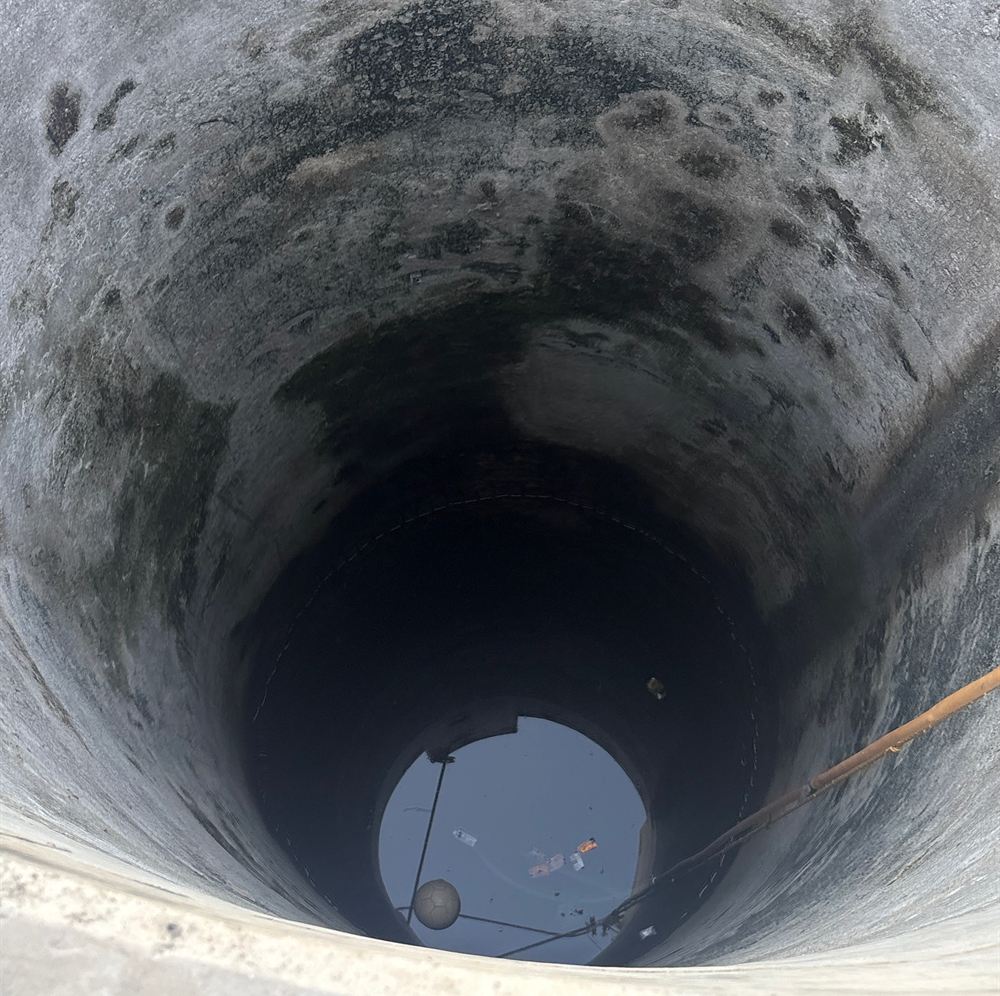
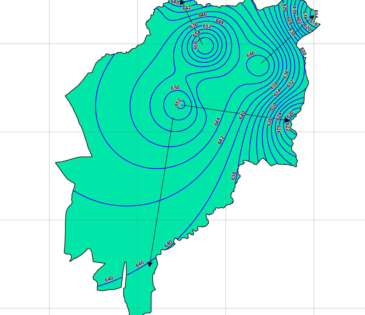
Where our teams work
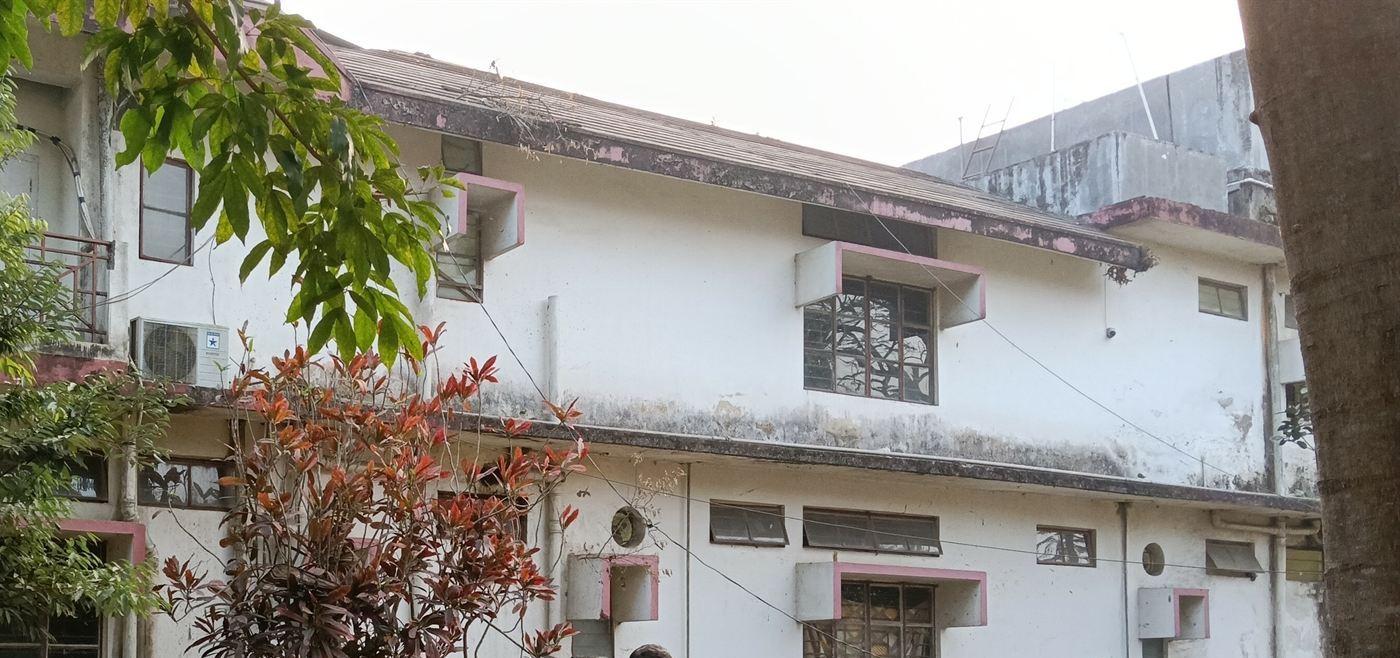
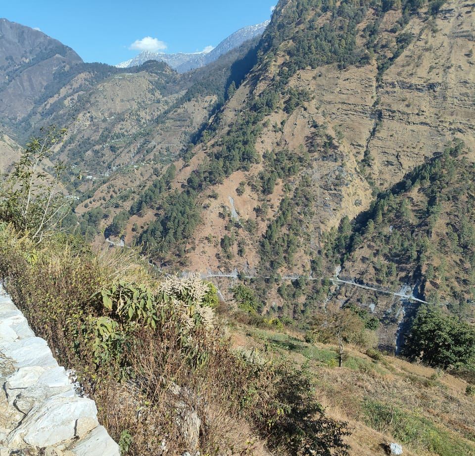
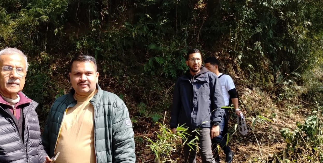
Clients and empanelments
Partners: VertiGIS · IIT Roorkee · Dornier Consulting · ACES Doha · ETAFAT · BSTARCOM
The SpaGeo group
GeoAI Copilot
Ask a question, get a map. Ready-to-use analytics on Sentinel-1 and -2, Landsat 8/9, Planet, Airbus and Maxar data. No downloads, no specialist software.
GeoAI Platform
The enterprise GeoAI workspace: projects, my data, imagery orders, IoT telemetry, digital twins and admin roles.
OrbitIndia
Optical, SAR and hyperspectral sensors on one platform with SpaGeo GeoAI on board, offered as Constellation-as-a-Service and Data-as-a-Service.
Xonni Systems Pvt Ltd
AeroPro UAV, Shield anti-drone and LiDAR scanners, made in India.
CIN U72200DL2006PTC145469 · GSTIN 07AAJCS7790P1ZB