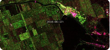
Satellite Remote Sensing
Optical, SAR/InSAR and hyperspectral fusion with AI classifiers for land use, change detection and crop mapping.
- Sentinel-1/2, Landsat 8/9, Planet, Airbus, Maxar
- InSAR ground-movement monitoring
- AI land-use and crop maps


SpaGeo captures, processes and publishes geospatial data at every scale, from 1:1,000 property maps to national topographic series.
Each layer checks the one above it. Satellites give coverage, drones and LiDAR give detail, ground survey gives truth, and GIS ties it together.
Optical, SAR/InSAR and hyperspectral fusion with AI classifiers for land use, change detection and crop mapping.
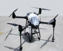
Corridor and area surveys with Xonni drones, from 2–5 cm orthophotos to DSMs and volumetrics.
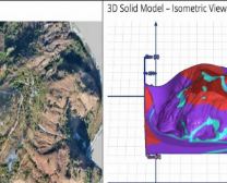
Dense point clouds for terrain, corridors and cities, classified and ready for engineering.
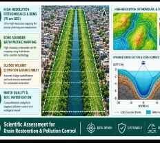
Echo-sounder bathymetry, DGPS control and total-station topography for drains, rivers, ports and plots.
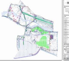
Topology-validated geodatabases and Web-GIS registers built for the departments that use them every day.
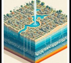
Web dashboards, 3D city twins and offline field apps that keep working where the network does not.