

Slopes, Landslides & Geohazards
Hill-slope stability, InSAR ground movement and early warning for Himalayan roads and towns.
The challenge
Why it matters
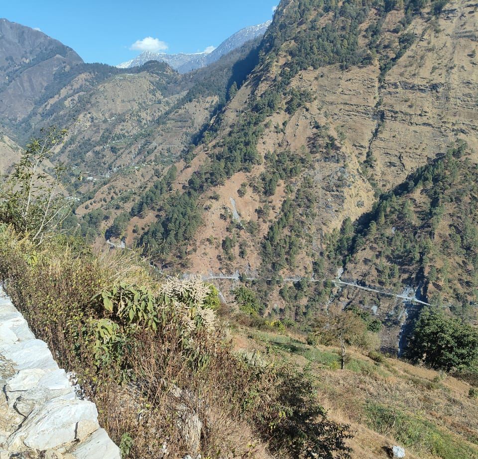
Hill roads and towns need to know which slopes are moving before they fail.
How SpaGeo does it
- Landslide susceptibility mapping
- InSAR deformation monitoring
- Drone slope surveys
- Sensor-based early warning
Start a conversation
Planning work in slopes, landslides & geohazards?
Share a few details and the sector lead will reply within one working day.
Related sectors
Urban Aquifer Management
AMRUT 2.0 aquifer maps for 12 Gujarat cities and shallow-aquifer DPRs for 11 more, from Gangtok to Ranchi.
River Rejuvenation
Drain and river corridors surveyed by drone and echo sounder, with sludge volumes and restoration plans.
Nature-based Solutions (CAMUS-SBT)
Springsheds, wetlands and catchments restored with geospatial evidence and monitored from space.